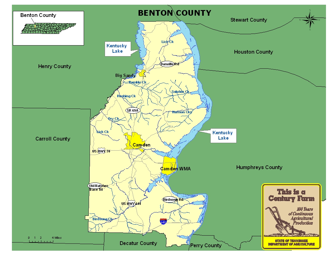
This map is intended for general geographical understanding. It does not provide the specific locations of the farms in order to protect the owners’ privacy. Map Courtesy of Carole Swann, Tennessee Department of Agriculture.
Benton County was created in 1835 from portions of Humphreys and Henry counties. Its eastern boundary is the Tennessee River, whose shoreline includes a part of Kentucky Lake. Benton County remains essentially a rural county with several small towns and villages and its county seat is Camden. The county also is the home of two tourist attractions with Nathan Bedford Forrest State Historical Area and Lakeshore, the United Methodist campground. For more information on Benton County, please go to the Tennessee Encyclopedia of History & Culture website.
| Farm Name | County | Date Founded | Special Recognition |
|---|---|---|---|
| Berry Farm | Benton | 1901 | |
| Brinkley Ellis Farm | Benton | 1907 | |
| Carter Farm | Benton | 1879 | |
| Cox Family Farm | Benton | 1863 | |
| Cypress Creek Farm | Benton | 1849 | NR |
| E.A. Cuff Farm | Benton | 1847 | |
| Hall-Dinwiddie Farm | Benton | 1889 | |
| Johnson Farm | Benton | 1918 | |
| Kee-Iver Farm | Benton | 1868 | |
| Latimer Farm | Benton | 1883 |