
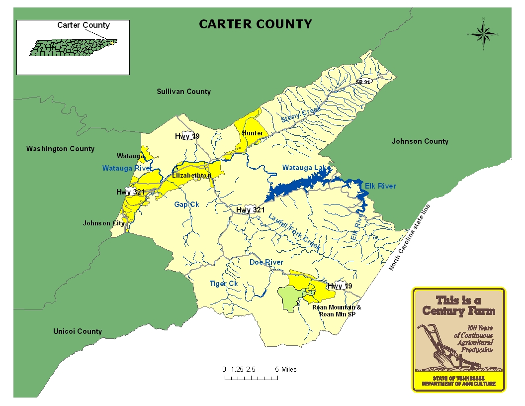
This map is intended for general geographical understanding. It does not provide the specific locations of the farms in order to protect the owners’ privacy. Map Courtesy of Carole Swann, Tennessee Department of Agriculture.
Carter County is located in the northeast corner of Tennessee and was created from Washington County in 1796 and named in honor of Landon Carter, treasurer of the Washington and Hamilton districts of North Carolina. The county seat of Carter County is Elizabethton. During the 1760s and 1770s, the area was a prominent area for Tennessee’s early settlers. In the late nineteenth century and early twentieth century, the county experienced some growth with the arrival of the East Tennessee and Western North Carolina Railroad. By the 1920s, industries such as the Bemberg and Glanztoff rayon plants were established in the county between Elizabethton and Sycamore Shoals. The rayon plants provided employment for many residents in the area. In the 1940s, the Tennessee Valley Authority constructed the Watauga Dam and Lake in the county. For more information regarding Carter County, please go to the Tennessee Encyclopedia of History & Culture website.
| Farm Name | County | Date Founded | Special Recognition |
|---|---|---|---|
| Campbell Farm | Carter | 1910 | |
| Colbaugh Farm | Carter | 1880 | |
| Lewis Farm | Carter | 1828 | |
| Renfro Farm | Carter | 1866 | NR |
| W. J. Cole Farm | Carter | 1919 |