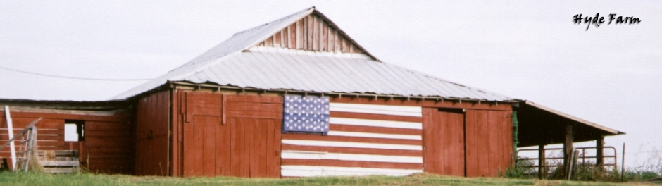
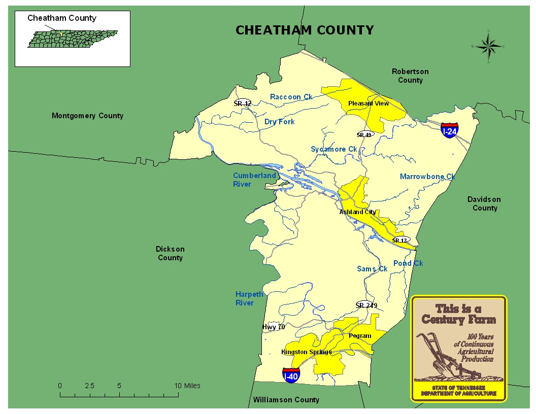
This map is intended for general geographical understanding. It does not provide the specific locations of the farms in order to protect the owners’ privacy. Map Courtesy of Carole Swann, Tennessee Department of Agriculture.
Cheatham County was established in 1856 from parts of Davidson, Robertson, Montgomery, and Dickson counties. The county was named in honor of Edward Saunders Cheatham, Speaker of the State Senate. The county seat is Ashland City. Cheatham County has several archaeological sites that document activities by Native Americans who once lived in the county. With its access to the Cumberland River, the railroad system and roads such as Interstates 24 and 40 and U.S. Highways 70 and 41A crossing the county, Cheatham County has played an important role in the transportation history of Tennessee. For more information regarding Cheatham County, please go to the Tennessee Encyclopedia of History & Culture website.
| Farm Name | County | Date Founded | Special Recognition |
|---|---|---|---|
| 4 M Acres Farm | Cheatham | 1849 | |
| Edgen Hills | Cheatham | 1879 | |
| George Stack Farm | Cheatham | 1920 | |
| Hewitt Farm | Cheatham | 1805 | |
| Hooper Homestead | Cheatham | 1880 | |
| Jackson Farm | Cheatham | 1806 | |
| Jimmy E. Shearon Sr. Farm | Cheatham | 1813 | |
| Johnson Farm | Cheatham | 1867 | |
| Knox Farms | Cheatham | 1896 | |
| Nicholson-Pardue Farm | Cheatham | 1912 |
- 1
- 2