
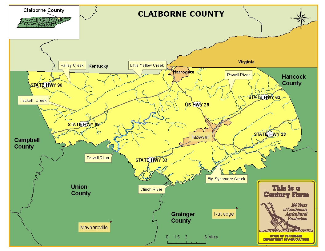
This map is intended for general geographical understanding. It does not provide the specific locations of the farms in order to protect the owners’ privacy. Map Courtesy of Carole Swann, Tennessee Department of Agriculture.
Claiborne County was formed in 1801 from parts of Grainger and Hawkins counties and named in honor of William C. C. Claiborne, Tennessee’s first congressional representative. During the same year the county was established, the town of Tazewell became the county seat. Claiborne County is home to Lincoln Memorial University, named after Abraham Lincoln and also has the Cumberland Gap, a natural historic feature that served as a gateway for Daniel Boone and many other settlers to travel westward. For more information regarding Claiborne County, please go to the Tennessee Encyclopedia of History & Culture website.
| Farm Name | County | Date Founded | Special Recognition |
|---|---|---|---|
| A.B. Rowe Farm | Claiborne | 1870 | |
| Beason Acres | Claiborne | 1855 | |
| Bill Russell Farm | Claiborne | 1898 | |
| Brooks Farm | Claiborne | 1829 | |
| Buis Ridge Farm | Claiborne | 1897 | |
| Campbell Farm | Claiborne | 1876 | |
| Cardwell Farm | Claiborne | 1884 | |
| Chumley River Farm | Claiborne | 1873 | |
| Dogwood Farm | Claiborne | 1883 | |
| Echo Acres Farm | Claiborne | 1865 |