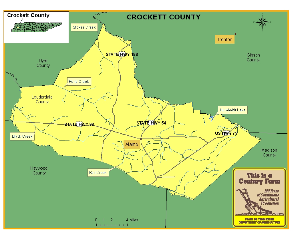
This map is intended for general geographical understanding. It does not provide the specific locations of the farms in order to protect the owners’ privacy. Map Courtesy of Carole Swann, Tennessee Department of Agriculture.
Crockett County was formed out of Dyer, Gibson, Haywood, and Madison counties and officially established in 1871. The county was named for the famous Tennessean Davy Crockett and the county seat was named Alamo after the historic mission in San Antonio, Texas. Throughout its history, cotton production has been a significant agricultural product for the county and its economy. Like many Tennessee counties, the railroad industry has played an important role in the county by creating train traffic that encouraged the creation of cotton gins at towns along the line and provided services for hauling fruits that were grown in the county. For more information regarding Crockett County, please go to the Tennessee Encyclopedia of History & Culture website.
| Farm Name | County | Date Founded | Special Recognition |
|---|---|---|---|
| Ball Farm | Crockett | 1845 | |
| Beaver-Castellaw Farms | Crockett | 1907 | |
| Brown-Jones Farm | Crockett | 1913 | |
| Butner Farms | Crockett | 1905 | |
| C. C. James Farm | Crockett | 1833 | |
| Cherry Farm | Crockett | 1850 | |
| Cherry Hill Farm | Crockett | 1836 | |
| Conyers Farm | Crockett | 1904 | |
| Culp Farm | Crockett | 1911 | |
| Cypress Creek Farm | Crockett | 1890 |