
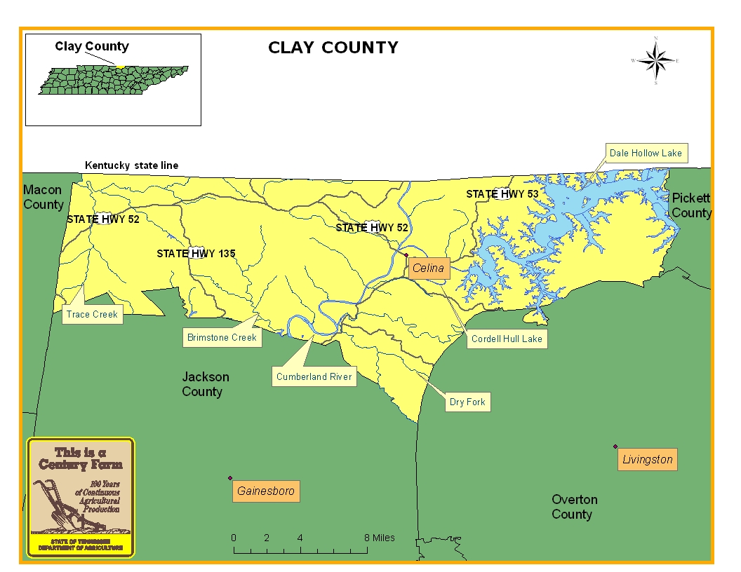
This map is intended for general geographical understanding. It does not provide the specific locations of the farms in order to protect the owners’ privacy. Map Courtesy of Carole Swann, Tennessee Department of Agriculture.
Clay County was established in 1870 and was formed out of northern sections of Overton and Jackson counties. The town of Celina serves as the county seat and its location at the confluence of the Obey and Cumberland rivers made it a prominent place for logging and steamboat trade from the early years of the county until the 1930s. Since the 1870s and still today, Clay County’s economy has largely been based on the timber and lumber industries. For more information regarding Clay County, please go to the Tennessee Encyclopedia of History & Culture website.
| Farm Name | County | Date Founded | Special Recognition |
|---|---|---|---|
| Rush Gentry Farms | Clay | 1897 | |
| Spear Farm | Clay | 1910 | |
| Stone Farms | Clay | 1901 | |
| Sweezy Farm | Clay | 1885 | |
| Wilson Capshaw Farms | Clay | 1872 |
- 1
- 2