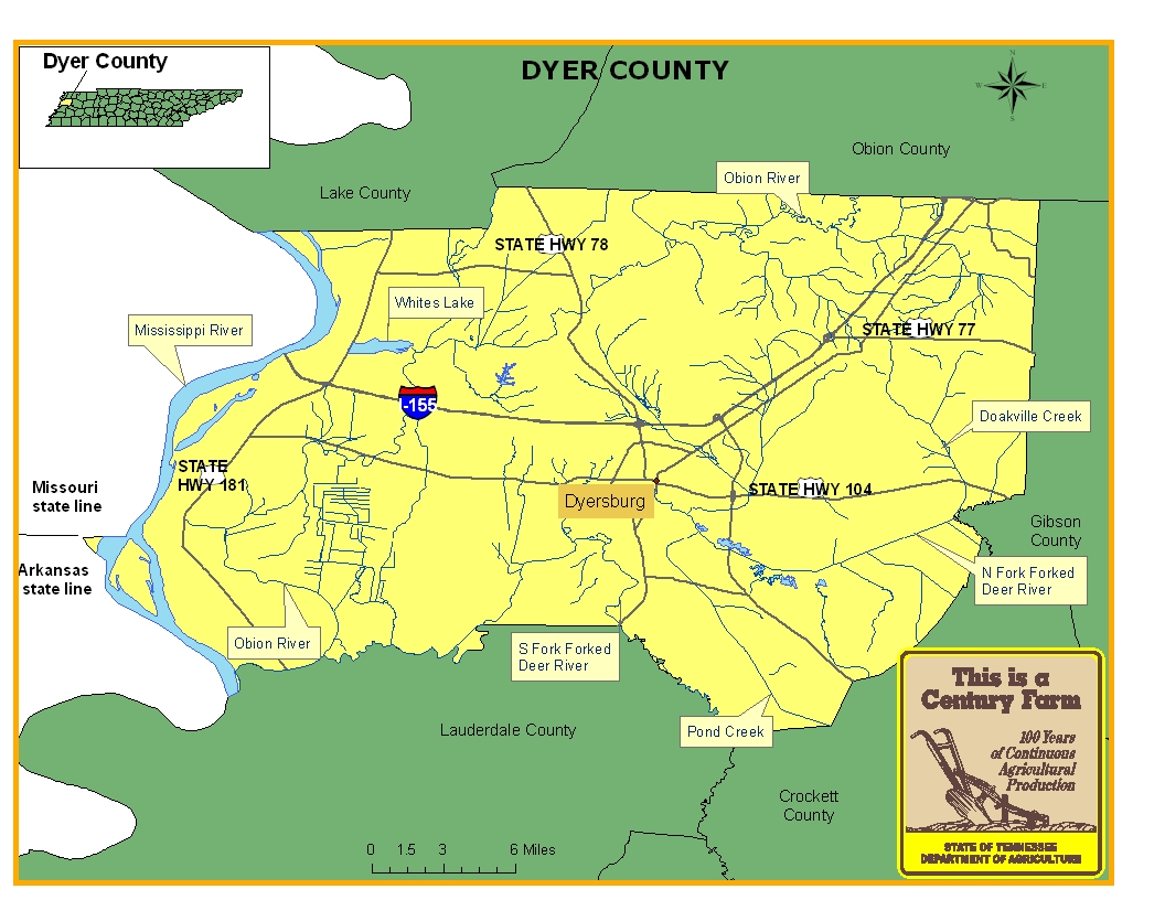
This map is intended for general geographical understanding. It does not provide the specific locations of the farms in order to protect the owners’ privacy. Map Courtesy of Carole Swann, Tennessee Department of Agriculture.
Dyer County was established in 1823 and named in honor of Colonel Robert H. Dyer. The county seat is Dyersburg and its location at the head of Forked Deer River made the town grow as a river town during the early nineteenth century. With its plentiful stands of timber and fertile soil for growing crops such as cotton, Dyer County has been a rich agricultural area throughout its history. In addition, the railroad industry has served an important role in the county with the Illinois Central Railroad having junction points and depots established in the towns of Dyersburg and Newbern. For more information regarding, Dyer County, please go to the Tennessee Encyclopedia of History & Culture website.
| Farm Name | County | Date Founded | Special Recognition |
|---|---|---|---|
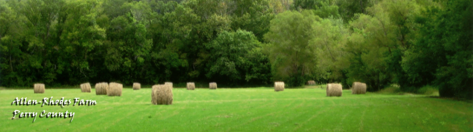
| Jones-Boswell Farm | Dyer | 1892 | |
| Kee Family Farm | Dyer | 1909 | |
| Light House Farm | Dyer | 1852 | |
| Lucas-Weatherly | Dyer | 1890 | |
| Miller Farm | Dyer | 1880 | |
| Moore Farm | Dyer | 1918 | |
| Rice Farm | Dyer | 1872 | |
| Rose Farm | Dyer | 1908 | |
| Scobey Farm | Dyer | 1869 | |
| Seven Oaks Farm | Dyer | 1903 |