
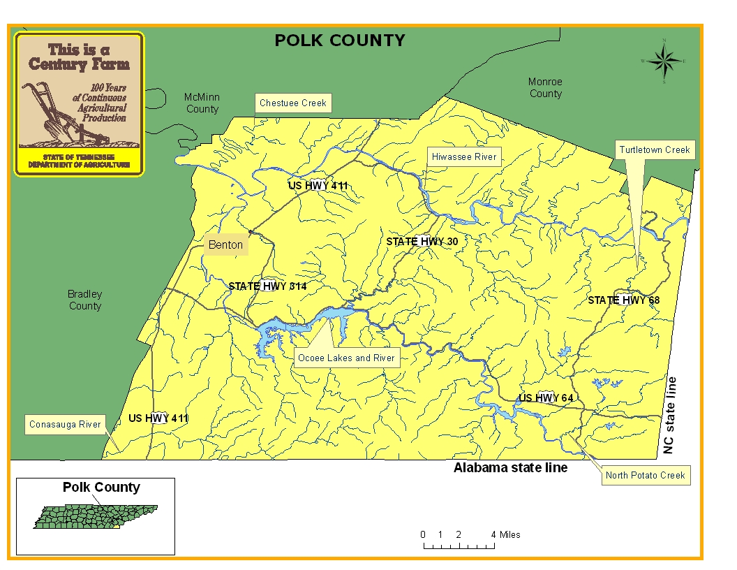
This map is intended for general geographical understanding. It does not provide the specific locations of the farms in order to protect the owners’ privacy. Map Courtesy of Carole Swann, Tennessee Department of Agriculture.
Polk County is located on the southeastern corner of Tennessee and is bordered by North Carolina and Georgia. The county was established in 1839 and named in honor of Governor and President James K. Polk and the county seat is Benton. One of the prominent industries in the history of the county has been copper mining that was first discovered at Ducktown in 1843. As a result of the copper mining, vegetation was killed for miles near the sites and left the landscape open to erosion. In addition to copper mining, the county has three hydroelectric plants on the Ocoee River and one on the Hiwassee River that are operated by the Tennessee Valley Authority. For more information regarding Polk County, please go to the Tennessee Encyclopedia of History & Culture website.
| Farm Name | County | Date Founded | Special Recognition |
|---|---|---|---|
| Boyd Farm | Polk | 1838 | |
| Carter Farms | Polk | 1875 | |
| Lillard's Branch Farm | Polk | 1839 | |
| Lindner Farm | Polk | 1867 | |
| Presswood-Cheek Farm | Polk | 1865 | |
| Rogers Farm | Polk | 1861 | |
| Taylors' Farm | Polk | 1839 | |
| Webb Brothers Farm | Polk | 1880 | |
| Willis Springs Farm | Polk | 1871 |