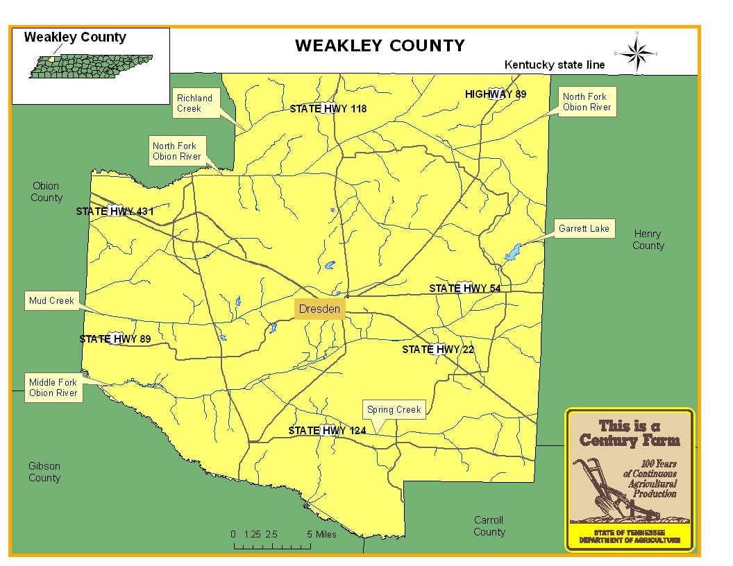
This map is intended for general geographical understanding. It does not provide the specific locations of the farms in order to protect the owners’ privacy. Map Courtesy of Carole Swann, Tennessee Department of Agriculture.
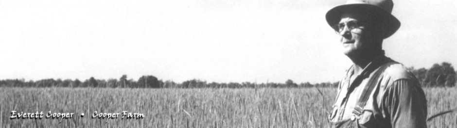
Weakley County is located in West Tennessee and is bounded on the north by the state of Kentucky, on the east by Henry County, on the south by Carroll and Gibson counties, and on the west by Obion County. Weakley County was established in 1823 and its county seat is Dresden. Agriculture has played an important role in the history of Weakley County. Some of the major crops that have been produced in the county are corn, tobacco, wheat, rye and oats. In addition, the county has been and continues to be one of the top swine producers in the state. For more information regarding Weakley County, please go to the Tennessee Encyclopedia of History & Culture website.
| Farm Name | County | Date Founded | Special Recognition |
|---|---|---|---|
| Freeman and Sons' Farm | Weakley | 1873 | |
| Freeman Farms | Weakley | 1866 | |
| Freeman Farms(father & son*) | Weakley | 1866 | |
| Harmsworth Farm | Weakley | 1900 | |
| Isaac Oliver Farm | Weakley | 1829 | |
| J. B. Nanney Farm | Weakley | 1876 | |
| Kennedy Farm | Weakley | 1866 | |
| Kennedy Ridge | Weakley | 1866 | |
| Mansfield Farm | Weakley | 1910 | |
| McNatt Farm | Weakley | 1857 |